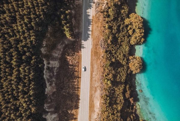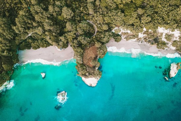

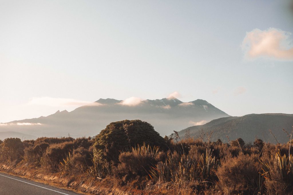
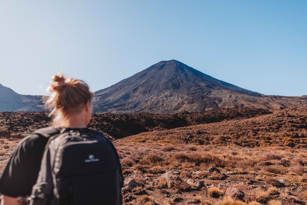
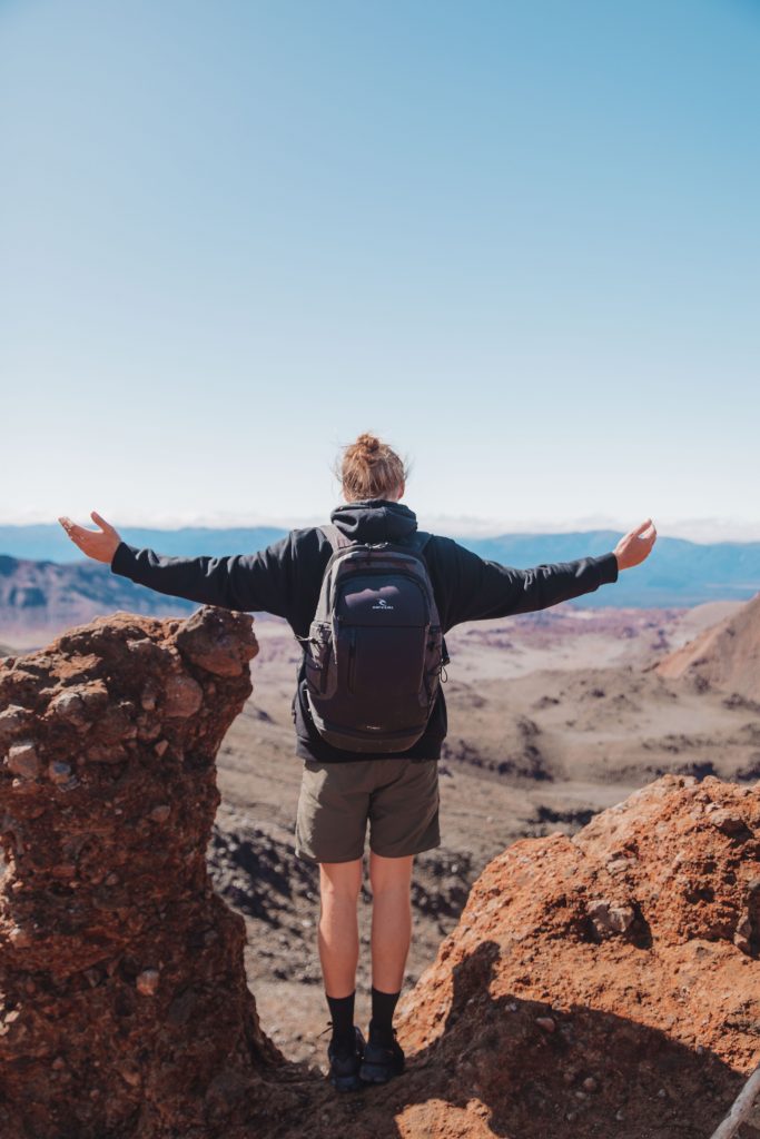
If you’re planning to hike the world-famous Tongariro Alpine Crossing, go you! It will not disappoint. It is not only considered the best one day hike in New Zealand but one of the best in the world! It’s also the region where they filmed Mordor in Lord of the Rings.
The hike itself is 19.4km and is relatively easy but there are a few places where the ascent and descent are pretty steep and can be slippery! The average walking time is 6-8 hours with the tallest part of the walk being 1886m – you can imagine how epic the views are from here!!
Facts about the hike…
Distance: 19.4 km (12 miles) point-to-point
Elevation Gain: 765 meters elevation gain and 1125 meters elevation loss if you hike from Mangatepopo car park to Ketetahi car park
Difficulty: Strenuous
Length of Time: 6 to 8 hours
Location: Tongariro National Park, North Island of New Zealand
Toilets: There are around 8 toilets placed along the whole track but make sure you bring your own toilet paper and most of them do not have any.
Before you hike…
The Tongariro Alpine Crossing is not a circuit track meaning you’ll be starting and finishing in a different place. There are shuttle services that you will need to book which picks you up from where you park at one end and drops you off at the other end of the trail. This means at the end of the trail you will be finishing at your car!
There are several shuttle options for you to take, one way and returns. The shuttles run throughout the day starting from 6 am and I recommend starting before 9 am as it’s a fairly long hike. It’s pretty essential you book your shuttle in advance, especially in the busy seasons, as they do get booked up!
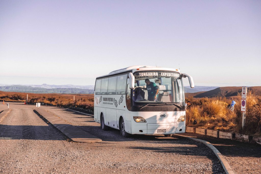
I booked a one-way shuttle through Tongariro Expeditions which cost me 35NZD. This is one of the most popular options as you park your car where you finish the hike so there is no time limit on catching a bus and you can hike at your own pace.
They pick you up from Ketetahi which is the end of the track and then take you to the start of the track at Mangatepopo Car Park. A super lovely and friendly run shuttle service that I highly recommend!
The Hike…
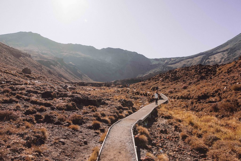
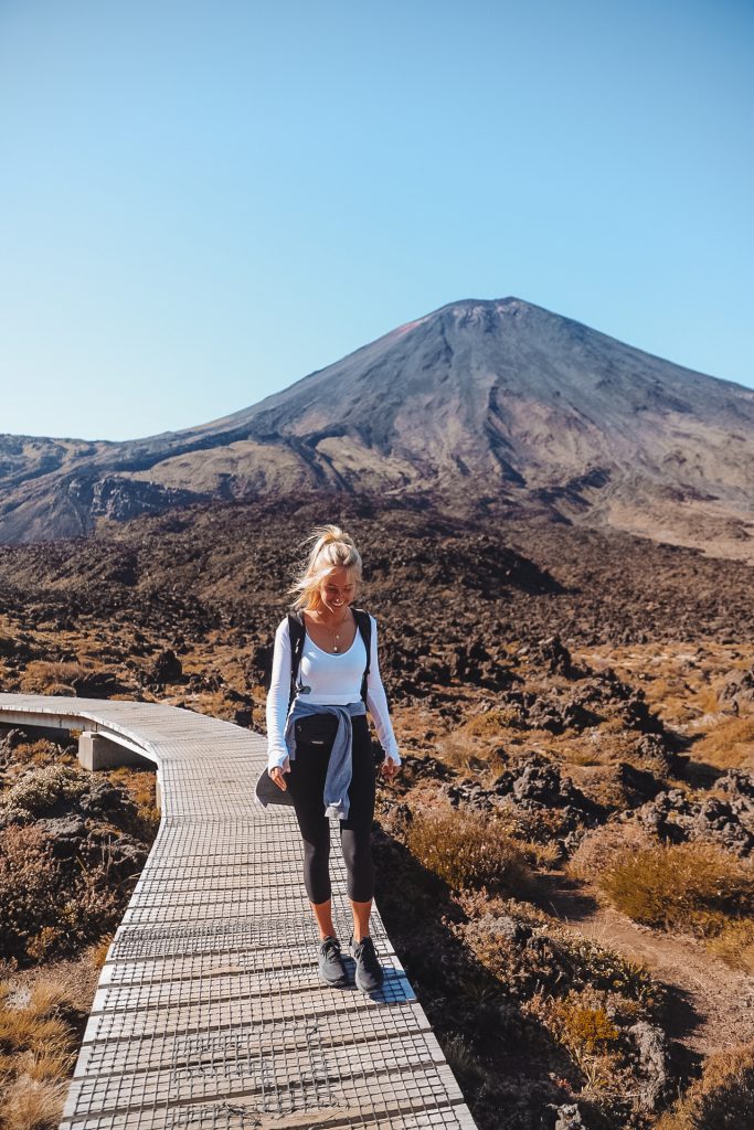
The whole hike is absolutely breathtaking, it takes you on a journey through a variety of different terrains and offers you constant views the whole duration. I’ve separated each section of the hike below.
Mangatepopo to Soda Springs – 1 hour
The start of the hike from Mangatepopo is a slow and steady gradual incline through vegetation for around 45 minutes. You follow the Mangatepopo stream along boardwalks with a backdrop of mountains. The Scenery then begins to change to a darker landscape and the volcanic boulders begin appearing. These boulders are old Lava from when the Volcano erupted back in 2012 and it sets the scene for what the rest of the hike is going to be like.

Soda Springs to South Crater – 1 hour
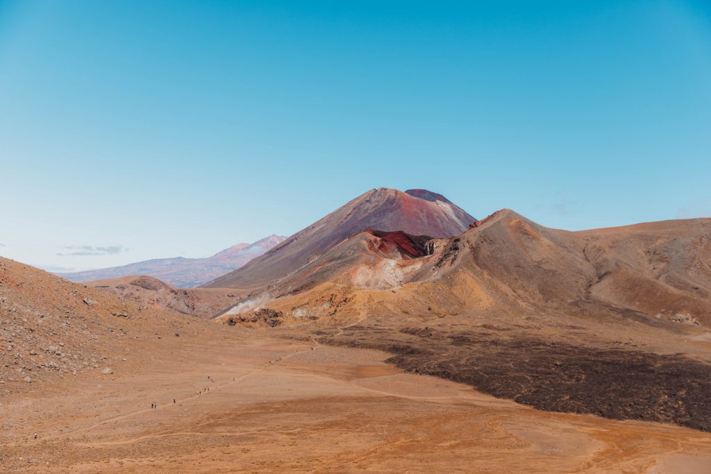
The next part of the climb takes around 1 hour and it’s where the real climb up begins – it’s a fairly steep and tiring ascend but the higher you get the more magical the views become. This part of the hike is called The Devil’s Staircase and when you get to the top you have arrived at the entry point to the South Crater
South Crater to the base of the Red Crater Ridge – 15 minutes
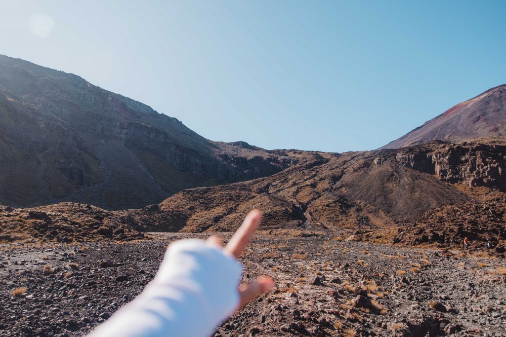
Enjoy this part of the hike as it’s the little break between each steep ascend. You’re walking through insane landscapes with Mt Doom to the right of you!
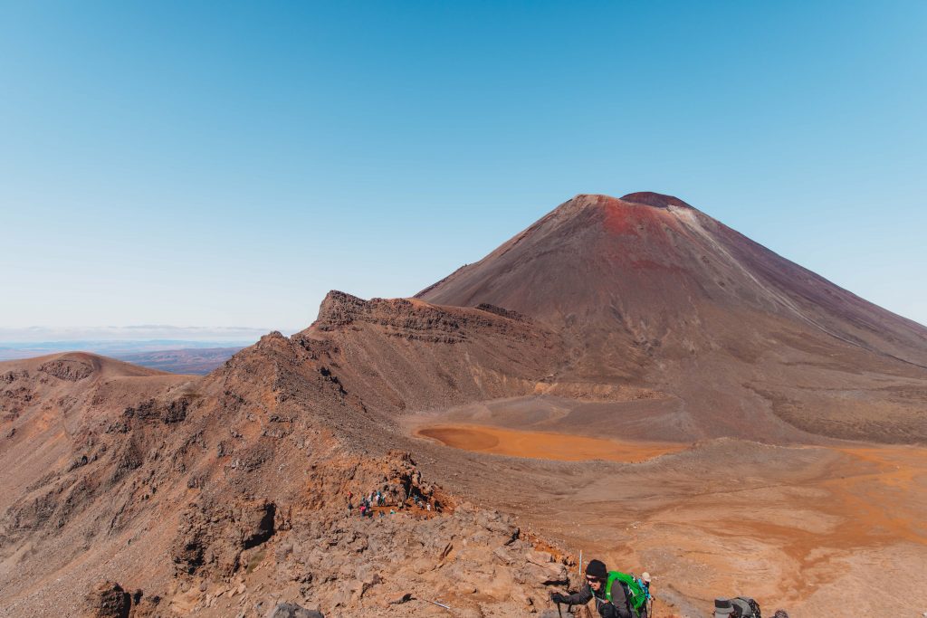
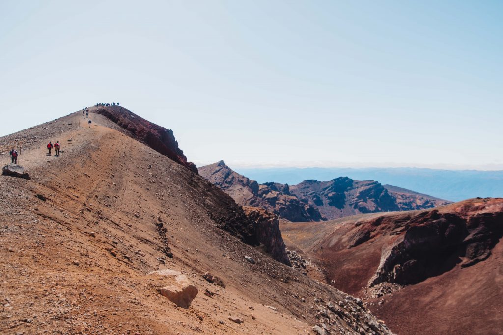
Red Crater Ridge – 30 minutes
Hiking from the South Crater to the Red Crater is the steepest part of the hike, with a big drop either side of you. We had perfect weather with zero wind so it felt pretty safe. However, I can imagine when the weather isn’t on your side or there’s the slightest bit of wind, this section can be pretty dangerous – so definitely take care and take it slow
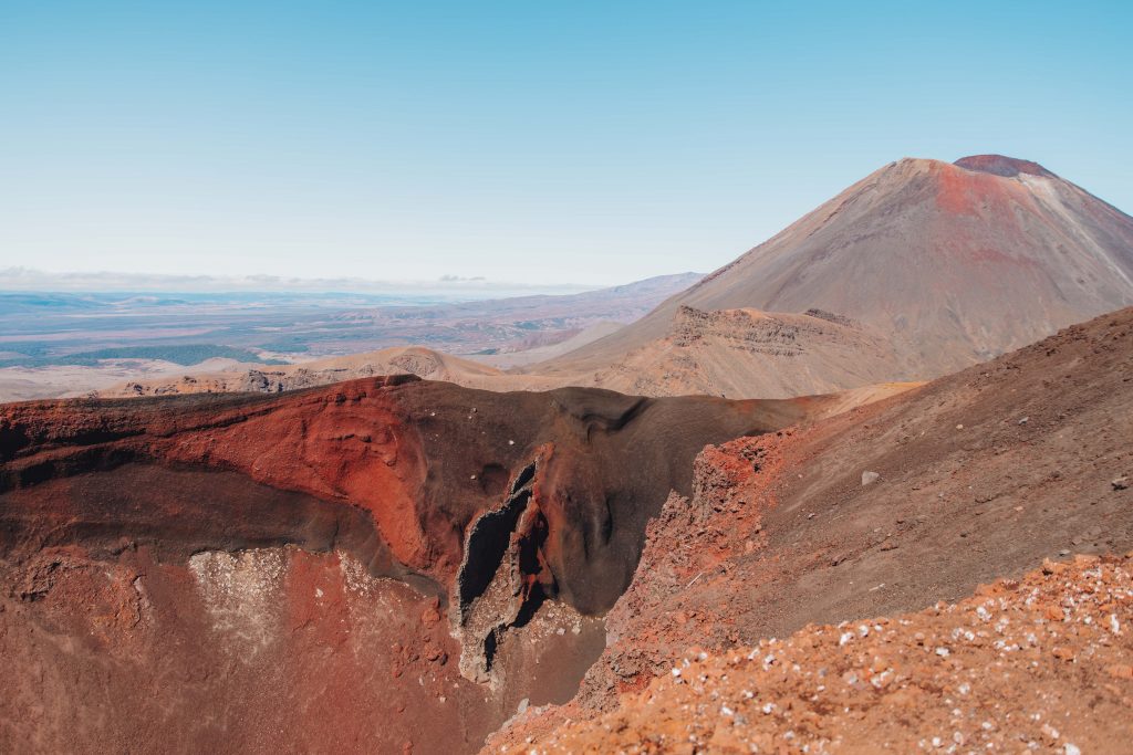
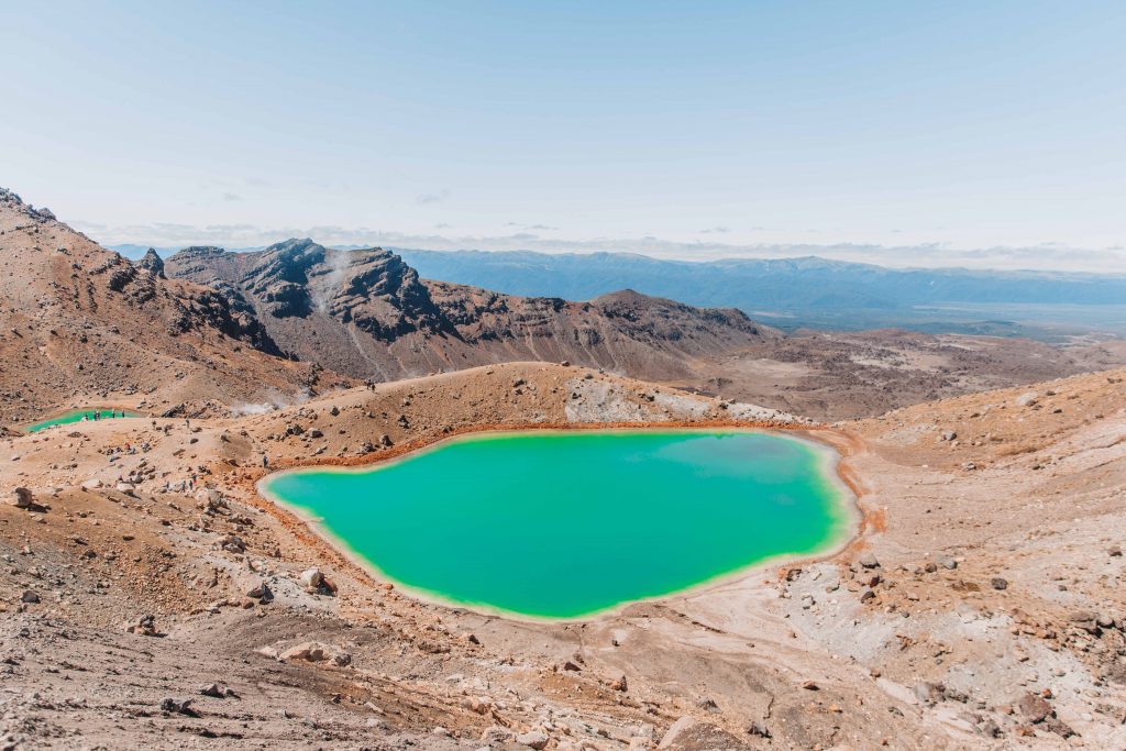
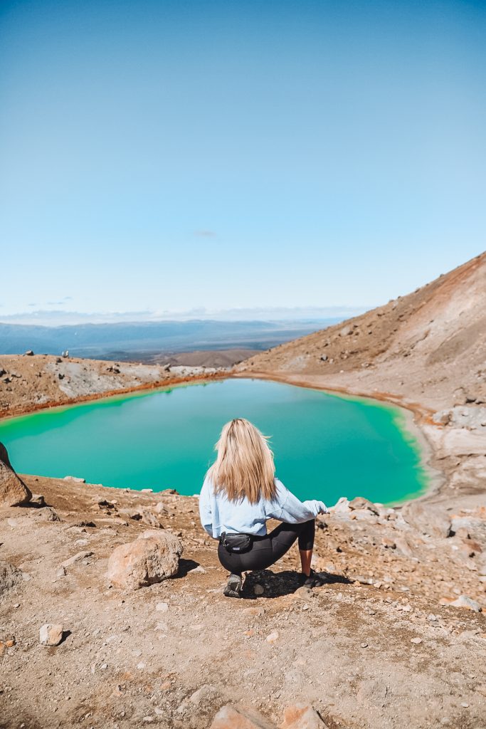
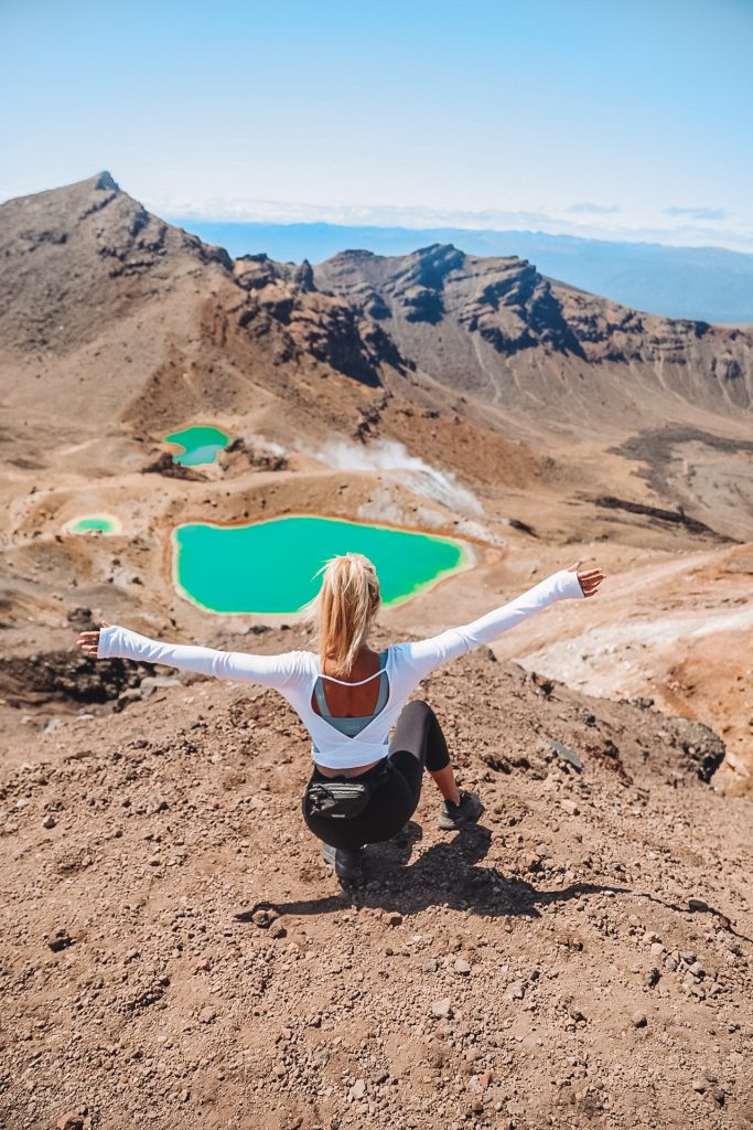
Red Crater summit to Emerald Lakes – 15 minutes
This is the highest point of the main track – take in the views of this incredible landscape and have a well earned rest! On different sections of the Crater you’ll find warm parts, almost like underground heating, this crater is active and there are hot spots you can sit on!
Emerald Lakes to the Blue Lake – 20 minutes
From the summit, take care as you descend down to the Emerald and Blue Lakes, the scree can be loose and it can take time to get yourself down! Have an explore around the lakes and take in the smell of sulphur!
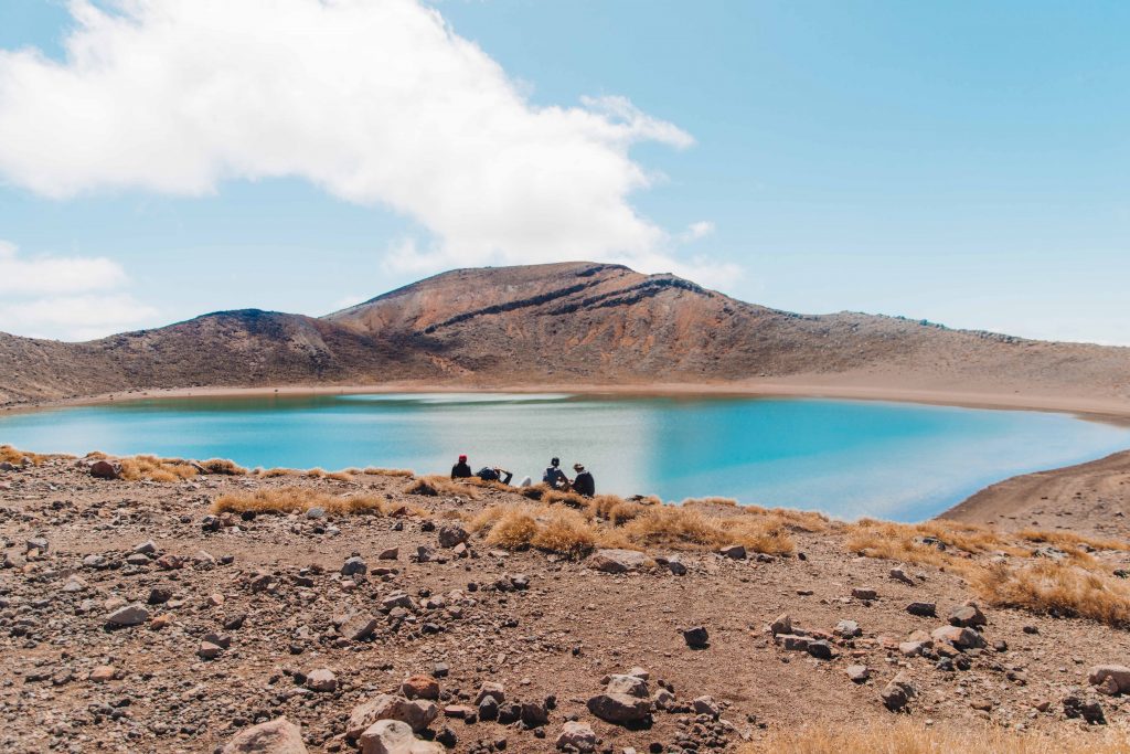
Blue Lake to Ketetahi Shelter – 1 hour
This next stage you will be following the Rotopaunga Valley from the Blue Lake down the North face to the Ketetahi Shelter. When you arrive at the Ketetahi Shelter you may want to rest and use the restrooms before taking on the final stage of the hike.
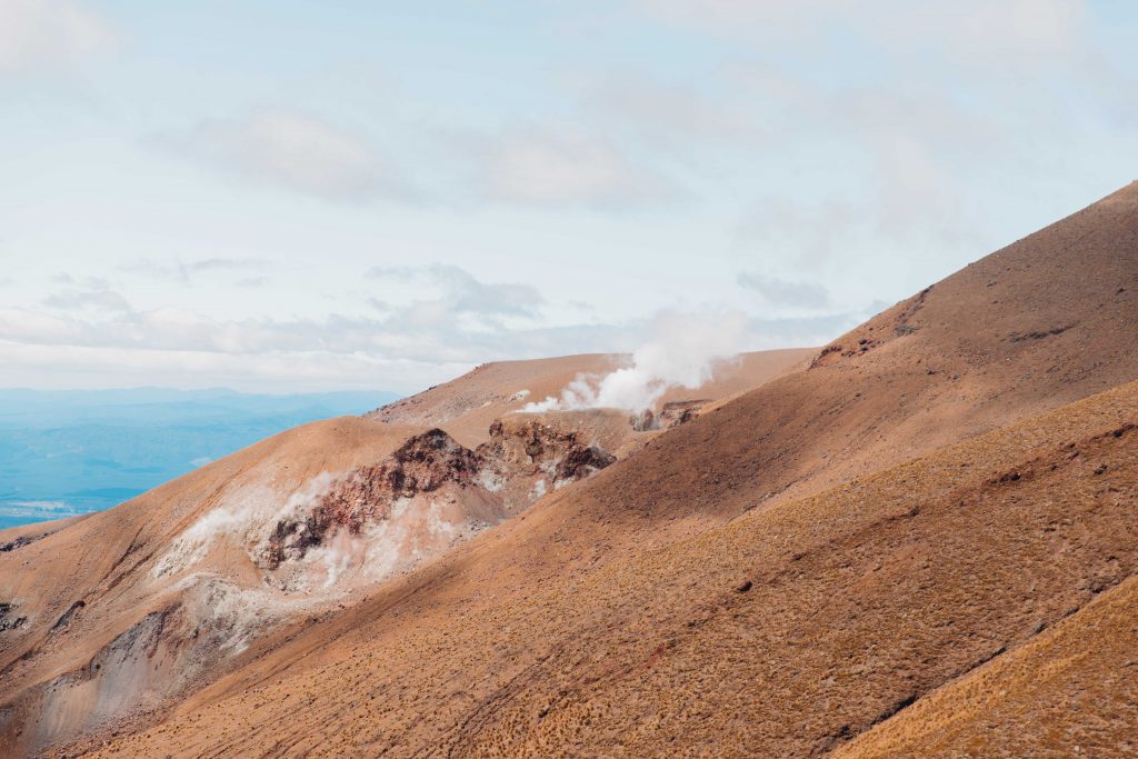
Ketetahi Shelter to Tongariro Shuttle Car Park – 2 hours
This part I found a bit of a slog as it’s fairly long way back down to where your car is. It’s a steady descent with beautiful scenery but leave enough time for this section of the hike as it will take you around 2 hours to complete. On the way down from the Shelter you can see the Te Maari Crater sending plumes of white steam into the sky! The last 30 minutes takes you through forest land with water and waterfalls flowing through, it’s pretty insane!
I absolutely loved this hike and it’s got to be up there with one of my favourite day hikes! I hope you enjoy it too x